Laufenburg 3D
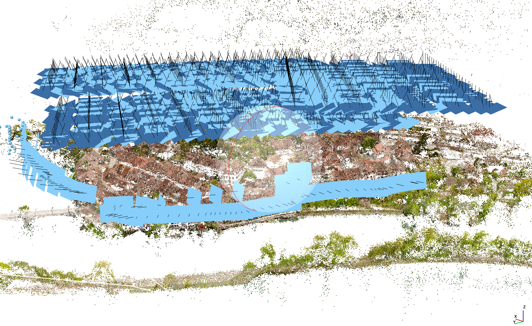
Aerial photogrammetry combines my hobby photography with the work I do at the Department of Geography of the University of Zürich, namely 3d remote sensing, mostly by the means of laser scanning. Small, modern UAVs (unmanned aerial vehicles, aka drones) have cameras that are not better than those of today’s cellphones, but 3d mapping becomes possible when combining hundreds or thousands of those images with powerful software that uses common